






On any sunny weekend in Metro Vancouver, Deep Cove begins filling up early.
By mid-morning, paddleboards are already cutting across the water, the donut line is out the door, and hikers are streaming toward one of the North Shore’s most recognizable trails: Quarry Rock.
The hike itself is not particularly long, difficult, or remote. That is exactly the point.
Quarry Rock is one of those rare trails that works for almost everyone. Dogs are welcome but must be kept on-leash. Families regularly complete the hike with young children. It’s a great first trail for beginners and a reliable favourite for experienced hikers looking for a beautiful, low-effort outing.
For first-time visitors, though, the experience can come with a few surprises. The trail is busier than many expect, parking in Deep Cove can be frustrating, and rainy weather transforms sections of the route into slick mud and exposed roots.
Here is what to know before planning a Quarry Rock hike.

The Basics: Distance, Difficulty, and Time
The Quarry Rock trail is a 3.8-kilometre out-and-back hike with roughly 100 metres of elevation gain. Most hikers complete the round trip in about 1.5 to 2 hours, including time to linger at the top.
Difficulty is generally rated easy to moderate. The elevation gain is concentrated in the first kilometre, where a set of wooden stairs gives way to a rooty path before levelling out through forest.
Newer wooden bridges and staircases have been added in recent years to improve accessibility, but expect some uneven ground and exposed tree roots throughout. Comfortable walking shoes or light trail runners will serve you well; full hiking boots aren’t required.
The trail is part of the historic Baden-Powell Trail, a 48-kilometre route that stretches all the way from Deep Cove to Horseshoe Bay.
Getting There: Driving and Transit
Deep Cove is about 30 minutes from downtown Vancouver. From the city, cross the Ironworkers Memorial Bridge (Second Narrows), take Exit 22 for Mount Seymour Parkway, and follow it for approximately 5 kilometres before turning left onto Deep Cove Road.
At the four-way stop, turn left onto Panorama Drive, and the trailhead is on the left side of the street, about 200 to 300 metres past the main parking lot at Panorama Park.
If you don’t have a car, the trail is easily accessible by transit. Take the SeaBus to Lonsdale Quay, then bus #239 toward Capilano University to Phibbs Exchange, and transfer from there. Use the TransLink Trip Planner for current routes and times.
On the Trail: What to Expect
The trailhead is easy to spot: just look for the Baden-Powell Trail sign at the base of a wooden staircase on the left side of Panorama Drive. The first section climbs quickly through a mix of Douglas Fir and Hemlock, a dense, beautiful forest that feels far removed from the city despite being so close.
After the initial climb, the trail levels into a series of gentle ups and downs as it winds through ravines. About 20 minutes in, you’ll cross a large bridge over Cove Creek.
Just past this bridge, watch for a junction — on your right stands one of the trail’s hidden gems: an enormous old-growth Douglas Fir estimated to be over 600 years old, documented in the District of North Vancouver’s heritage tree registry.
Shortly after, you’ll cross a second bridge over Francis Creek, climb a short set of stairs, and reach a final junction. Continue on the right and you’ll emerge onto the open granite outcrop of Quarry Rock itself.
The view is worth every step. BC’s famous fjord, Indian Arm, stretches out before you — a 20-kilometre glacial fjord carved during the last ice age. To the south, you can see Burnaby Mountain. To the east, Eagle Ridge and the Belcarra Mountains.
Safety Features You Should Know About
The District of North Vancouver has installed numbered emergency markers — orange signs in the trees, numbered 1 through 12 — at intervals along the trail. If you ever need to call 911, give the dispatcher the number of the nearest marker so rescue teams can locate you quickly. It’s a small but important feature worth noting before you set out.

For navigation, the trail is well-signed and appears on both Google Maps and AllTrails. That said, cell service in BC’s forests isn’t always reliable, so downloading an offline map through AllTrails or Gaia Maps before you leave is a smart habit.
Best Time to Visit
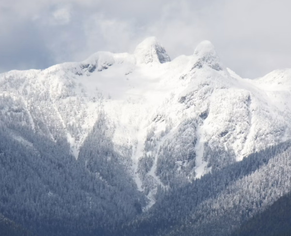
Quarry Rock is hikeable year-round, which is part of its appeal. It looks stunning in snow, dramatic under cloudy skies, and green in the summer.
To beat the crowds, aim for early morning on weekends or any weekday visit. The trail is one of the busiest on the North Shore — reportedly second only to the Grouse Grind in foot traffic — and on a warm Saturday afternoon, you’ll have plenty of company at the top.
After the Hike: Deep Cove Village
No trip to Quarry Rock is complete without a stop in Deep Cove Village. The charming waterfront community is well worth exploring. The village has a variety of shops to stop by, whether you’re looking for a bite or a souvenir.
If you have more time, Deep Cove also offers paddleboard and kayak rentals to explore Indian Arm from the water, as well as waterfront parks with picnic tables and views. In summer, the village occasionally hosts evening concerts at the waterfront.
Even at its busiest, Quarry Rock remains popular for a reason. It delivers exactly what many people are hoping to find when they picture the Vancouver outdoor lifestyle: forests, ocean views, mountain scenery, and a hike that feels achievable rather than overwhelming.
For visitors and locals alike, it remains one of the simplest ways to step briefly outside the city without going very far at all.